The Virunga Conservation Area is where the Virunga Mountains are found. These are a group of volcanoes located in three countries: the Democratic Republic of Congo, Uganda, and Rwanda.
The area has eight volcanoes. Two of them; Mount Nyiragongo and Mount Nyamuragira, are still active.
The name “Virunga” comes from the local word Ibirunga, which means “volcanoes.”
The Virunga Mountains are located between Lake Kivu and Lake Edward, along the western side of the East African Rift Valley.
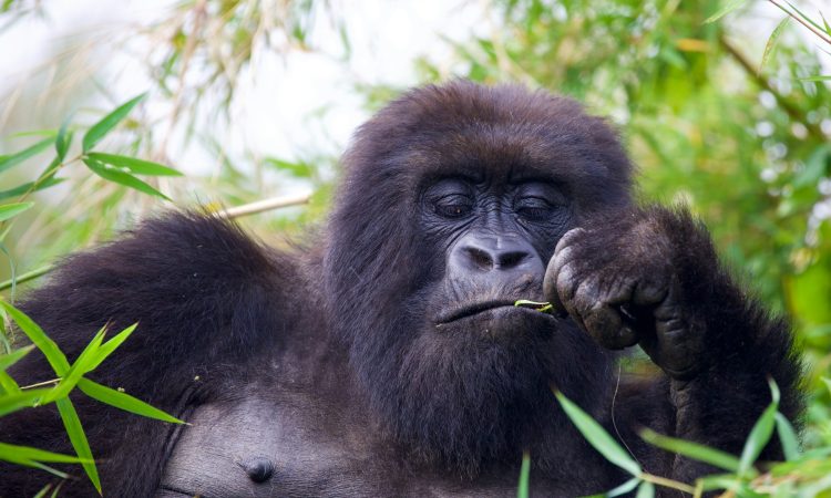
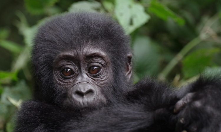
The slopes of these volcanoes are home to some of the last remaining mountain gorillas.
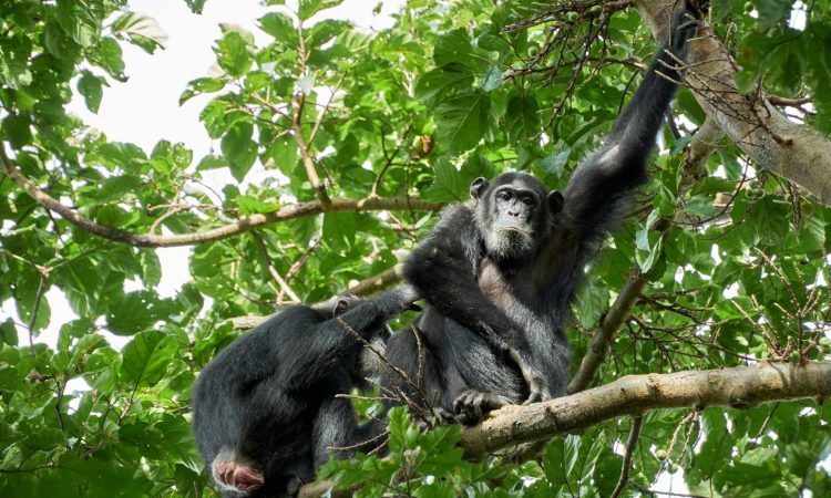
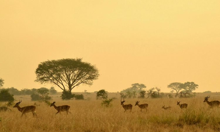
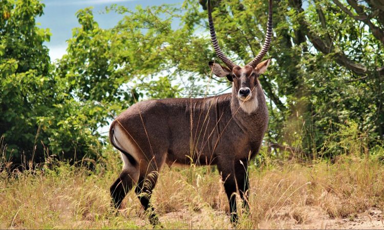
The Virunga Conservation Area is not only home to mountain gorillas but also to many other animals. These include forest elephants, leopards, bushbucks, giant forest genets, bush pigs, duikers, antelopes, and several primates such as golden monkeys, black and white colobus monkeys, red-tailed monkeys, olive baboons, blue monkeys, De Brazza monkeys, and bush babies.
The Batwa people, also called pygmies, were the first people to live in this area. They were hunter-gatherers who lived in the forests and depended on them for food, shelter, and medicine. Meeting the Batwa people when visiting the area is a special experience.
The Virunga Conservation Area includes four national parks:
- Mount Rwenzori National Park & Virunga National Park in Congo
- Mgahinga Gorilla National Park in Uganda
- Volcanoes National Park in Rwanda
You can go gorilla trekking in three of these parks. In Congo, gorilla tourism take place in Virunga National Park. In Rwanda, they take place in Volcanoes National Park. In Uganda, Mgahinga is one of the parks where you can see gorillas.
Please remember that each country has a different price for gorilla permits.
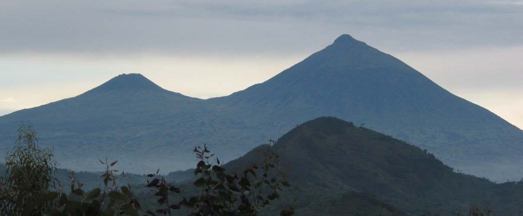
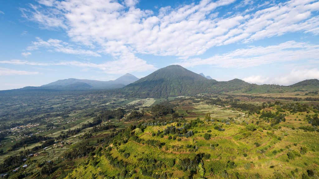
Mountains in the Virunga Conservation Area
Below are the eight Virunga Volcano Mountains spread across three countries.
Mount Nyamuragira

Mount Nyamuragira is one of the world’s most active volcanoes. It is located in Congo and is similar to Mauna Loa in Hawaii. It rises 3,058 meters above sea level. It has a large caldera that is 2 kilometers wide and 100 meters deep. The volcano has erupted more than 40 times since 1885. The last eruption was in 2011.
Mount Sabyinyo

Mount Sabyinyo is believed to be the oldest of the Virunga volcanoes. It lies where the borders of Rwanda, Uganda, and Congo meet. The name “Sabyinyo” means “worn-out teeth” in the local language, and its peak looks like worn-out teeth. You can stand in all three countries at once on top of this mountain. However, the hike is only possible from Uganda due to the steep slopes on the Rwanda and Congo sides. Hikes begin in Mgahinga Gorilla National Park.
Mount Bisoke
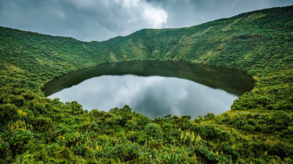
Mount Bisoke is located at the border of Rwanda and Congo. It is 3,711 meters high. The summit is in Rwanda and has a crater lake. Another smaller crater lake, Lake Ngezi, is 11 kilometers from the summit. The name “Bisoke” means “soaked with water” because the top of the mountain is often covered in fog.
Mount Gahinga
Mount Gahinga lies between Mount Sabyinyo and Mount Muhabura, right on the Uganda-Rwanda border. The name “Gahinga” means “pile of stones.” It was named this because of small stone piles found in the farmlands. The mountain stands 3,474 meters high and has a swampy crater at the top.
Mount Nyiragongo

Mount Nyiragongo is another active volcano, like Mount Nyamuragira. It stands 3,470 meters tall and is known for dangerous eruptions. Its lava once flowed at 97 kilometers per hour. The last eruption was in 2002. Lava reached parts of Goma town and even Lake Kivu, destroying many buildings. The eruption lasted for one full day.
Mount Mikeno

Mount Mikeno is the second tallest mountain in the Virunga range. It is 4,437 meters high and is located in Congo near the Rwanda border. The name “Mikeno” means “poor” in the local language. The mountain was given this name because its steep slopes make it hard for people to live there. It is the steepest of all the Virunga volcanoes and is only recommended for skilled and experienced hikers.
Mount Karisimbi
Mount Karisimbi is the tallest of the Virunga volcanoes, with a height of 4,507 meters. The name “Karisimbi” means “white shell” because the summit often has snow. The lava from this mountain is quite young, dating between 0.24 million and 0.01 million years old. Hiking Mount Karisimbi takes two days. The hike starts in Volcanoes National Park in Rwanda.
Mount Muhabura

Mount Muhabura, also called Mount Muhavura, lies on the border of Rwanda and Uganda. It is the third highest volcano in the Virunga range, with a height of 4,127 meters. Because of its tall slopes, the mountain can be seen from many parts of Uganda and Rwanda. The name “Muhabura” means “guide,” as the mountain was once used to help travelers find their way.